Utracono hasło? Nowy użytkownik? Zarejestruj się
Big eye, Philippines. Photo by Stephane Rochon.
Baw się i pomagaj!
| Znajdź najlepsze miejsce nurkowe |
|
|
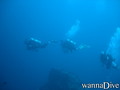
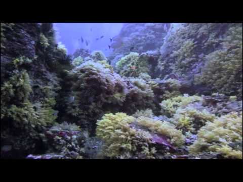
 Ko Bon Pinnacle
Thailand, Andaman Sea, Koh Surin
Ta mapa jest interaktywna! Użyj kontrolek celem przybliżenia i oddalenia.
|
Data: WGS84 [ Pomocy ] |
Szerokość geograficzna: 8° 50.013' N |
Ocena użytkownika (2)
- Ulubione
-
Twoje ulubione i przyszłe miejsca nurkowe
Dostęp
|
English (Przetłumacz ten tekst w Polski): The shoal is located on the northwest side of the Ko Bon island, in open water. Jak? Łodzią Odległość Długi czas na łodzi Łatwo znaleźć? Trudne do znalezienia |
Charakterystyka miejsca nurkowego
Przeciętna głebokość 25 m / 82 ft
maksymalna głębokość 39 m / 128 ft
Prąd Średnio( 1-2 knots)
Widoczność Dobry ( 10 - 30 m)
Jakość
Jakość miejsca nurkowania Dobry
Doświadczenie CMAS ** / AOW
Interesujący biologicznie Interesujący
Więcej informacji
Ilość nurków w tygodniu
Ilość nurków w week-end
Nurkowanie typu
- Ścianka
- Głębokie
- Rekiny
- Duże ryby
- Rafa
Aktywności w miejscu
- Biologia morska
- Fotografia
Niebezpieczeństwa
- Głebokość
- Prąd
Dodatkowe informacje
English (Przetłumacz ten tekst w Polski): The top of the pinnacle is 18m deep; the bottom at 39m deep. Many fish shoals, and sometime mantas, and whale sharks!
Autor: Anonimowy Współpracownicy (1) Oni nurkowali w tym miejscu! (47)
 Dive logs
|
Wycieczki nurkowe
|
Komentarze
Obok gaziv , 28-04-2018
Appreciate the depth - It is probably one of the deepest dives in the Andaman islands but there is less to see than in most islands and the number of photos added to the Wannadive site prove it.
Błąd, powiadom nas o błędzie
możesz skorygować te błędy lub dodać informacje. Jeśli masz problemy odwiedź ta stronę, Wyślij nam odpowiedź zwrotną.